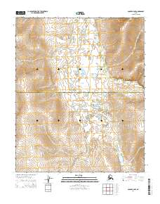
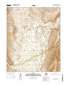
2014 Map of Candle B-4 NW
USGS Topo · Published 2014About this map
The W Fork Buckland River winds through this expansive landscape, marking a significant hydrological feature in the northwestern reaches of the state. The topography is defined by the boundary between the Northwest Arctic Borough and the Nome Census Area, a division that reflects the administrative and geographic complexity of the region. The map layout is primarily organized by the Public Land Survey System, highlighting areas such as t1n r11w, t1n r10w, t1s r11w, and t1s r10w. The contour intervals illustrate a series of ridges and valleys that transition towards the river basin, providing a detailed view of the natural terrain as it existed during this period of the twenty-first century.
Find a feature on this map
6 named features on this map. Tap any name to fly to it.
Don’t see what you’re looking for? This feature index may not catch every label — zoom into the map to look around manually.
Map Details
Editions of this 2014 Candle B-4 NW Map
This is the sole edition of this map. No revisions or reprints were ever made.
Other maps of this area

1950 · Candle C-5
USGS Topo · 1:63,360

1950 · Candle B-5
USGS Topo · 1:63,360

1951 · Candle
USGS Topo · 1:250,000

1955 · Candle
USGS Topo · 1:250,000

1955 · Candle C-4
USGS Topo · 1:63,360
1955 · Candle B-4
USGS Topo · 1:63,360

1964 · Candle
USGS Topo · 1:250,000
2014 · Candle C-5 SE
USGS Topo · 1:25,000
2014 · Candle C-4 SE
USGS Topo · 1:25,000
2014 · Candle C-4 SW
USGS Topo · 1:25,000