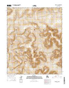
2014 Map of Teller C-3 NE
USGS Topo · Published 2014About this map
The Continental Divide bisects this remote portion of the Seward Peninsula, carving a high-altitude line across the landscape between the drainages of the north and west. In this high-arctic terrain, the Kugrupaga River originates in the northwest corner, flowing towards the Arctic coast, while the N Fork Nuluk River winds through the western valleys. The map provides a clear look at the public land survey system divisions, including T4n R36w, t4n r35w, T3n R36w, and T4n R35w. This 2014 survey documents a land defined entirely by its natural hydrology and elevation, devoid of established roads or permanent settlements, reflecting the wilderness character of the Nome region at the start of the twenty-first century.
Find a feature on this map
7 named features on this map. Tap any name to fly to it.
Don’t see what you’re looking for? This feature index may not catch every label — zoom into the map to look around manually.
Map Details
Editions of this 2014 Teller C-3 NE Map
This is the sole edition of this map. No revisions or reprints were ever made.
Other maps of this area

1950 · Teller
USGS Topo · 1:250,000

1950 · Teller C-3
USGS Topo · 1:63,360

1950 · Teller D-2
USGS Topo · 1:63,360

1950 · Teller D-3
USGS Topo · 1:63,360

1950 · Teller C-2
USGS Topo · 1:63,360

1951 · Teller
USGS Topo · 1:250,000

1957 · Teller
USGS Topo · 1:250,000

1958 · Teller
USGS Topo · 1:250,000
2014 · Teller D-3 SW
USGS Topo · 1:25,000
2014 · Teller D-2 SW
USGS Topo · 1:25,000