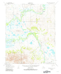
1950 Map of Bendeleben A-6
USGS Topo · Published 1981About this map
The Kuzitrin River and Pilgrim River converge in this remote Seward Peninsula landscape, which was recorded by the Army Map Service during the mid-20th century. The terrain is defined by the sharp rise of the Kigluaik Mountains to the south and distinctive peaks like Hen and Chickens Mountain and Bunker Hill further north. This region served as a crossroads for early transportation, evidenced by the Old Railroad Grade and various Tractor routes that navigate the marshy lowlands.
Find a feature on this map
34 named features on this map. Tap any name to fly to it.
Don’t see what you’re looking for? This feature index may not catch every label — zoom into the map to look around manually.
Map Details
Editions of this 1950 Bendeleben A-6 Map
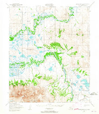
3 editions found
Other maps of this area

1907 · Casadepaga
USGS Topo · 1:62,500

1950 · Bendeleben A-6
USGS Topo · 1:63,360

1950 · Bendeleben B-5
USGS Topo · 1:63,360

1950 · Bendeleben B-6
USGS Topo · 1:63,360

1950 · Bendeleben A-5
USGS Topo · 1:63,360

1950 · Nome
USGS Topo · 1:250,000

1950 · Teller
USGS Topo · 1:250,000

1950 · Bendeleben
USGS Topo · 1:250,000

1950 · Solomon
USGS Topo · 1:250,000

1950 · Solomon D-6
USGS Topo · 1:63,360