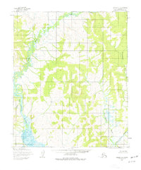
1955 Map of Candle A-4
USGS Topo · Published 1977About this map
East Fork Koyuk River dominates the western portion of this 1955 survey, where the waterway meanders through the interior of the Seward Peninsula. The landscape is defined by its complex drainage networks, with the Tipooktulearuk River cutting across the central and eastern sections to join the southward-flowing Inglutalik River. Compiled from aerial photography taken in the mid-1950s, the map documents a vast wilderness lacking established roads or settlements, characterized instead by significant tributaries like Alameda Creek. The lack of human infrastructure on this sheet highlights the state of the Alaskan interior during the post-war era, prior to modern development. Researchers and hydrologists can trace the natural evolution of these river systems in their undisturbed state, providing a baseline for the region's environmental history.
Find a feature on this map
4 named features on this map. Tap any name to fly to it.
Don’t see what you’re looking for? This feature index may not catch every label — zoom into the map to look around manually.
Map Details
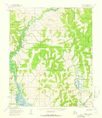
Editions of this 1955 Candle A-4 Map
2 editions found
Other maps of this area

1948 · Norton Bay
USGS Topo · 1:250,000

1950 · Norton Bay D-5
USGS Topo · 1:63,360

1950 · Candle B-5
USGS Topo · 1:63,360

1950 · Candle A-5
USGS Topo · 1:63,360

1950 · Norton Bay D-4
USGS Topo · 1:63,360

1950 · Norton Bay D-3
USGS Topo · 1:63,360

1951 · Candle
USGS Topo · 1:250,000

1951 · Norton Bay
USGS Topo · 1:250,000

1955 · Candle
USGS Topo · 1:250,000

1955 · Norton Bay
USGS Topo · 1:250,000