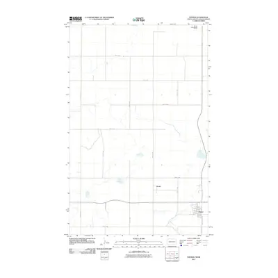
2011 Map of Noonan
USGS Topo · Published 2011About this map
Noonan and the small settlement of Kermit define the human geography of this Divide County landscape just south of the Canadian border in 2011. The town of Noonan is detailed with a clear street grid, including Main St, Atlantic Ave, and Washington St, reflecting its role as a local center for this prairie region. Just north of the 49th parallel, the Border International Airport sits as a vital transportation link on the international boundary.
Find a feature on this map
21 named features on this map. Tap any name to fly to it.
Don’t see what you’re looking for? This feature index may not catch every label — zoom into the map to look around manually.
Map Details
Editions of this 2011 Noonan Map
This is the sole edition of this map. No revisions or reprints were ever made.
Other maps of this area

1947 · Noonan
USGS Topo · 1:24,000

1949 · Columbus SW
USGS Topo · 1:24,000

1949 · Paulson
USGS Topo · 1:24,000

1949 · Atcoal
USGS Topo · 1:24,000

1949 · Noonan SW
USGS Topo · 1:24,000

1949 · Noonan SE
USGS Topo · 1:24,000

1949 · Noonan
USGS Topo · 1:24,000

1950 · Columbus
USGS Topo · 1:62,500

1950 · Noonan
USGS Topo · 1:62,500

1953 · Williston
USGS Topo · 1:250,000