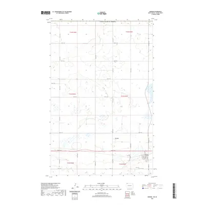
2020 Map of Noonan
USGS Topo · Published 2020About this map
Noonan anchors the southeastern corner of this Divide County landscape, positioned along the intersection of Main St and Farm to Market Rd. The settlement pattern reflects the traditional grid of a North Dakota prairie town, with residential streets like Hagerud St and numbered avenues such as 1st Ave and 2nd Ave defining the community core. To the west, the rural landscape is punctuated by the small locality of Kermit, situated near 102nd St NW.
Find a feature on this map
31 named features on this map. Tap any name to fly to it.
Don’t see what you’re looking for? This feature index may not catch every label — zoom into the map to look around manually.
Map Details
Editions of this 2020 Noonan Map
This is the sole edition of this map. No revisions or reprints were ever made.
Other maps of this area

1947 · Noonan
USGS Topo · 1:24,000

1949 · Columbus SW
USGS Topo · 1:24,000

1949 · Paulson
USGS Topo · 1:24,000

1949 · Atcoal
USGS Topo · 1:24,000

1949 · Noonan SW
USGS Topo · 1:24,000

1949 · Noonan SE
USGS Topo · 1:24,000

1949 · Noonan
USGS Topo · 1:24,000

1950 · Columbus
USGS Topo · 1:62,500

1950 · Noonan
USGS Topo · 1:62,500

1953 · Williston
USGS Topo · 1:250,000