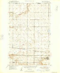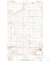
1947 Map of Noonan
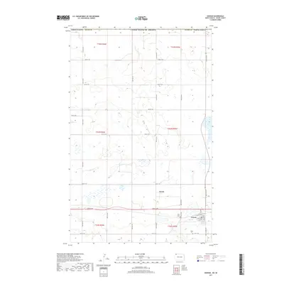
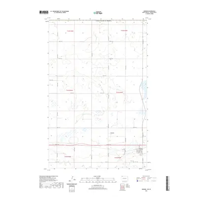
USGS Topo · Published 1982About this map
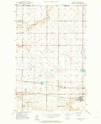
The Blooming Valley Coal Field dominates the southern landscape of this Divide County region, where the extraction industry is clearly etched into the terrain through a massive Pit and Strip Mine. This 1947 survey captures the industrial and agricultural interface along the international border, marked by the Port of Entry leading toward Saskatchewan. The rail-dependent economy of the era is anchored by the Burlington Soo Northern Line, which connects the settlements of Noonan and Kermit. Evidence of shifting transport patterns appears in the Old Railroad Grade north of the primary tracks. Rural education is organized around a system of numbered schoolhouses, including School No 1 and School No 4 near the small community of Bluffton, while Long Creek provides the primary drainage for the undulating prairie north of the coal fields.
Find a feature on this map
15 named features on this map. Tap any name to fly to it.
Don’t see what you’re looking for? This feature index may not catch every label — zoom into the map to look around manually.
Map Details
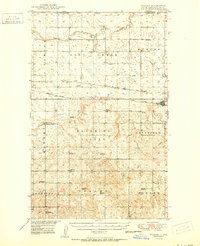
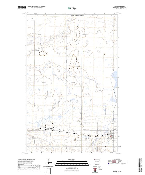
Editions of this 1947 Noonan Map
2 editions found
Historical Maps of Noonan Through Time
8 maps found