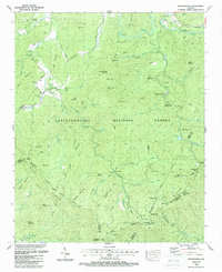
1988 Map of Noontootla
USGS Topo · Published 1988About this map
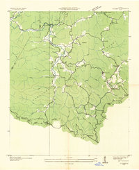
Chattahoochee National Forest encompasses this mountain landscape in the late 1980s, where the Tennessee Valley Divide separates the north-flowing waters from the southern reaches of the Blue Ridge. The geography is defined by a dense network of gaps and ridges, including Doublehead Gap and Winding Stair Gap, which serve as natural transit points through the high terrain. Local heritage is preserved in numerous family and community burial grounds such as Garrett Cem, Kirby Cem, and Noontootla Cem. The area also serves as a critical junction for major wilderness paths, where the Appalachian Trail and Benton MacKaye Trail converge near Three Forks. Along the Toccoa River and its tributaries, specialized facilities like the Chattahoochee Forest National Fish Hatchery and recreation sites like Frank Gross Recreation Area highlight the region's focus on conservation and forest management.
Find a feature on this map
90 named features on this map. Tap any name to fly to it.
Don’t see what you’re looking for? This feature index may not catch every label — zoom into the map to look around manually.
Map Details
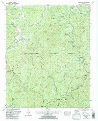
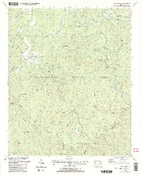
Editions of this 1988 Noontootla Map
3 editions found
Other maps of this area

1888 · Ellijay
USGS Topo · 1:125,000

1892 · Ellijay
USGS Topo · 1:125,000

1898 · Ellijay
USGS Topo · 1:125,000

1911 · Ellijay
USGS Topo · 1:125,000

1935 · Mulky Gap
USGS Topo · 1:24,000

1935 · Noontootla
USGS Topo · 1:24,000

1935 · Lake Toccoa
USGS Topo · 1:24,000

1935 · Tickanetley
USGS Topo · 1:24,000
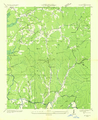
1935 · Wilscot
USGS Topo · 1:24,000
1935 · Suches
USGS Topo · 1:24,000