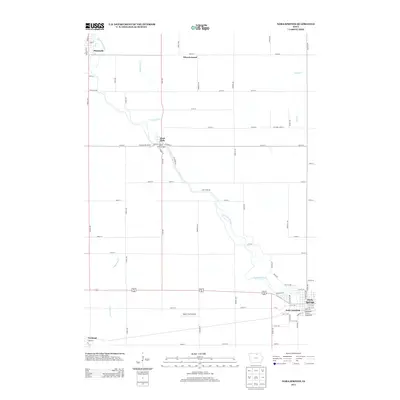
2013 Map of Nora Springs
USGS Topo · Published 2013About this map
The Shell Rock River snakes through this northern Iowa landscape, serving as a primary corridor for the riverside communities of Rock Falls and Nora Springs. The topography is defined by the river’s winding course and its tributaries, including Rock Falls Cr and Little Lime Cr. In Nora Springs, the Hawkeye Street Underpass and the nearby rail convergence at Nora Junction highlight the area's legacy as a transportation hub, where steel and stone meet the water.
Find a feature on this map
73 named features on this map. Tap any name to fly to it.
Don’t see what you’re looking for? This feature index may not catch every label — zoom into the map to look around manually.
Map Details
Editions of this 2013 Nora Springs Map
This is the sole edition of this map. No revisions or reprints were ever made.
Other maps of this area

1954 · Mason City
USGS Topo · 1:250,000

1957 · Mason City
USGS Topo · 1:250,000

1958 · Mason City
USGS Topo · 1:250,000

1959 · Mason City
USGS Topo · 1:24,000

1959 · Mason City
USGS Topo · 1:62,500

1959 · Nora Springs
USGS Topo · 1:24,000

1959 · Mason City SE
USGS Topo · 1:24,000

1959 · Hanford
USGS Topo · 1:24,000

1971 · Rockford
USGS Topo · 1:24,000

1971 · Rudd
USGS Topo · 1:24,000