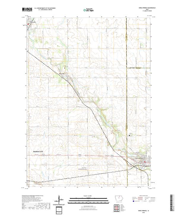
2022 Map of Nora Springs
USGS Topo · Published 2022About this map
The Shell Rock River winds southeastward through this northern Iowa landscape, connecting the communities of Plymouth, Rock Falls, and Nora Springs. In this part of Floyd, Cerro Gordo, and Mitchell Counties, the river's path is shadowed by the Shell Rock River Greenbelt Trl, a notable corridor of preserved space through the agricultural grid. Local history and genealogy are anchored by the Rock Falls Cem and the Spring Grove Cem, located near the southeastern edge of the map. Smaller waterways like Beaver Cr, Rock Falls Cr, and Little Lime Cr feed into the primary river valley, while Spotts Field and various section-line roads like Co RD b15 and Co RD 1330 define the rural character of the terrain surrounding these riverside settlements.
Find a feature on this map
46 named features on this map. Tap any name to fly to it.
Don’t see what you’re looking for? This feature index may not catch every label — zoom into the map to look around manually.
Map Details
Editions of this 2022 Nora Springs Map
This is the sole edition of this map. No revisions or reprints were ever made.
Other maps of this area

1954 · Mason City
USGS Topo · 1:250,000

1957 · Mason City
USGS Topo · 1:250,000

1958 · Mason City
USGS Topo · 1:250,000

1959 · Mason City
USGS Topo · 1:24,000

1959 · Mason City
USGS Topo · 1:62,500

1959 · Nora Springs
USGS Topo · 1:24,000

1959 · Mason City SE
USGS Topo · 1:24,000

1959 · Hanford
USGS Topo · 1:24,000

1971 · Rockford
USGS Topo · 1:24,000

1971 · Rudd
USGS Topo · 1:24,000