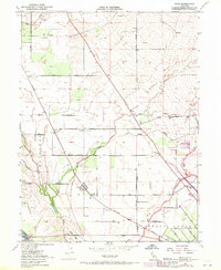
1951 Map of Nord
USGS Topo · Published 1971About this map
The Southern Pacific railroad corridor serves as the primary spine for this agricultural landscape north of Chico, connecting the small settlements of Nord and Anita. This 1951 survey, updated with 1969 revisions, captures the complex hydrological network of the Sacramento Valley, where seasonal waterways like Keefer Slough and Kusal Slough distribute water across the flat terrain. The map details an established rural infrastructure, noting the Shasta Union Sch and various local thoroughfares such as Cana Highway and Wilson Landing Road.
Find a feature on this map
31 named features on this map. Tap any name to fly to it.
Don’t see what you’re looking for? This feature index may not catch every label — zoom into the map to look around manually.
Map Details
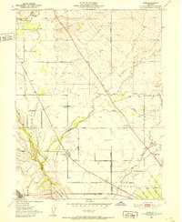
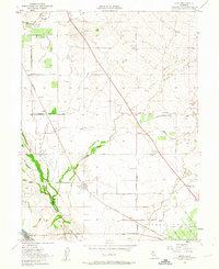
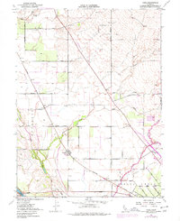
Editions of this 1951 Nord Map
4 editions found
Other maps of this area

1891 · Chico
USGS Topo · 1:125,000

1893 · Chico
USGS Topo · 1:125,000

1895 · Chico
USGS Topo · 1:125,000

1904 · Vina
USGS Topo · 1:62,500

1906 · Willows
USGS Topo · 1:62,500

1912 · Durham
USGS Topo · 1:31,680

1912 · Nord
USGS Topo · 1:31,680

1912 · Chico Landing
USGS Topo · 1:31,680

1912 · Keefers
USGS Topo · 1:31,680

1912 · Singer Creek
USGS Topo · 1:31,680