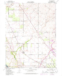
1951 Map of Nord
USGS Topo · Published 1977About this map
Agricultural lands and water management dominate this region of Butte County, where the Southern Pacific railroad cuts a diagonal line through the valley floor. Small settlements like Nord, Cana, and Anita serve as focal points for the surrounding ranch and orchard network, organized along a rigid grid of roads including Cana Highway and Nord Highway. The map reveals a sophisticated irrigation and drainage system necessary for this landscape, with numerous windmills and wells scattered near waterways such as Pine Creek, Rock Creek, and Mud Creek. To the south, the Arroyo Chico grant boundary and the Shasta Union Sch indicate the shift toward more developed community infrastructure, while the Pine Creek Cem preserves a record of the early residents of this productive interior valley.
Find a feature on this map
31 named features on this map. Tap any name to fly to it.
Don’t see what you’re looking for? This feature index may not catch every label — zoom into the map to look around manually.
Map Details
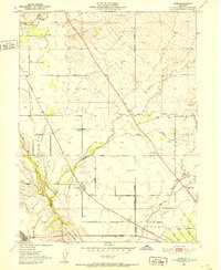
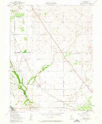
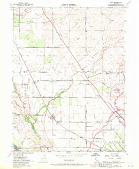
Editions of this 1951 Nord Map
4 editions found
Other maps of this area

1891 · Chico
USGS Topo · 1:125,000

1893 · Chico
USGS Topo · 1:125,000

1895 · Chico
USGS Topo · 1:125,000

1904 · Vina
USGS Topo · 1:62,500

1906 · Willows
USGS Topo · 1:62,500

1912 · Durham
USGS Topo · 1:31,680

1912 · Nord
USGS Topo · 1:31,680

1912 · Chico Landing
USGS Topo · 1:31,680

1912 · Keefers
USGS Topo · 1:31,680

1912 · Singer Creek
USGS Topo · 1:31,680