
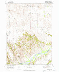
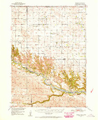
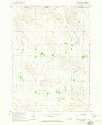
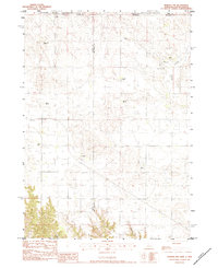
1952 Map of Norden
USGS Topo · Published 1952This historical map portrays the area of Norden in 1952, primarily covering Keya Paha County as well as portions of South Dakota. Featuring a scale of 1:62500, this map provides a highly detailed snapshot of the terrain, roads, buildings, counties, and historical landmarks in the Norden region at the time. Published in 1952, it is the sole known edition of this map.
Find a feature on this map
42 named features on this map. Tap any name to fly to it.
Don’t see what you’re looking for? This feature index may not catch every label — zoom into the map to look around manually.
Map Details
Editions of this 1952 Norden Map
This is the sole edition of this map. No revisions or reprints were ever made.
Historical Maps of Brown County Through Time
16 maps found
1949 Jamison SW
Keya Paha County, NE
1950 Huddle Table
Keya Paha County, NE
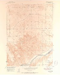
1950 Mariaville
Keya Paha County, NE
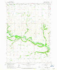
1950 Meadville
Keya Paha County, NE
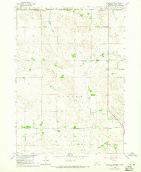
1950 Norden
Keya Paha County, NE
1951 Jamison SW
Keya Paha County, NE
1952 Norden
Keya Paha County, NE
1964 Jamison
Keya Paha County, NE
1964 Meadville NE
Keya Paha County, NE
1964 Meadville NW
Keya Paha County, NE
1964 Mills
Keya Paha County, NE
1964 Springview NW
Keya Paha County, NE
1964 Springview SE
Keya Paha County, NE
1983 Hayford Lake
Keya Paha County, NE
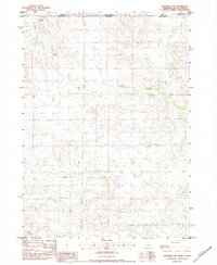
1983 Norden
Keya Paha County, NE
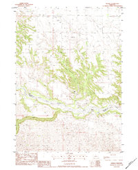
1983 Norden NW
Keya Paha County, NE