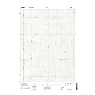
2014 Map of Norfolk NE
USGS Topo · Published 2014About this map
The rolling agricultural uplands of Northeast Nebraska are meticulously captured in this modern survey, highlighting the drainage patterns of the eastern Elkhorn River basin. The landscape is dominated by the well-defined township-and-range grid, where north-south thoroughfares like 558th Ave and 561st Ave intersect with numbered east-west section lines. Water management and drainage are central to this terrain, featuring the headwaters of several streams including Turtle Cr, Spring Br, and Humbug Cr.
Find a feature on this map
22 named features on this map. Tap any name to fly to it.
Don’t see what you’re looking for? This feature index may not catch every label — zoom into the map to look around manually.
Map Details
Editions of this 2014 Norfolk NE Map
This is the sole edition of this map. No revisions or reprints were ever made.
Other maps of this area

1955 · Sioux City
USGS Topo · 1:250,000

1958 · Sioux City
USGS Topo · 1:250,000

1959 · Sioux City
USGS Topo · 1:250,000

1963 · Hoskins
USGS Topo · 1:24,000

1963 · Wayne SW
USGS Topo · 1:24,000

1963 · Norfolk
USGS Topo · 1:24,000

1963 · Winside
USGS Topo · 1:24,000

1963 · Wee Town
USGS Topo · 1:24,000

1963 · Norfolk NE
USGS Topo · 1:24,000

1971 · Randolph South
USGS Topo · 1:24,000