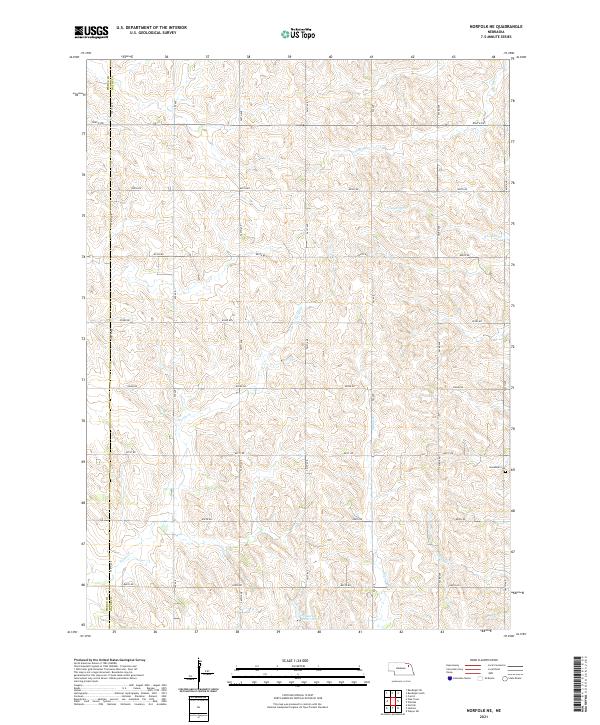
2021 Map of Norfolk NE
USGS Topo · Published 2021About this map
Turtle Cr and S Logan Cr carve through this agricultural landscape along the Pierce and Wayne county line. The terrain is defined by a dense network of sectional roads, including 856th Rd and 850th Rd, which follow the Public Land Survey System grid. This 2021 survey reveals a quiet rural landscape where small water bodies like Scheurich Reservoir and tributaries such as Spring Br and Humbug Cr drain the fields. For those researching local history, the Immanuel Cem stands as a focal point in the eastern portion of the quadrangle. The map captures the persistent geometry of Nebraska's farm country, showing how modern infrastructure and natural drainages like S Br Deer Cr continue to shape the local geography across Township 25 and 26 North.
Find a feature on this map
21 named features on this map. Tap any name to fly to it.
Don’t see what you’re looking for? This feature index may not catch every label — zoom into the map to look around manually.
Map Details
Editions of this 2021 Norfolk NE Map
This is the sole edition of this map. No revisions or reprints were ever made.
Other maps of this area

1955 · Sioux City
USGS Topo · 1:250,000

1958 · Sioux City
USGS Topo · 1:250,000

1959 · Sioux City
USGS Topo · 1:250,000

1963 · Hoskins
USGS Topo · 1:24,000

1963 · Wayne SW
USGS Topo · 1:24,000

1963 · Norfolk
USGS Topo · 1:24,000

1963 · Winside
USGS Topo · 1:24,000

1963 · Wee Town
USGS Topo · 1:24,000

1963 · Norfolk NE
USGS Topo · 1:24,000

1971 · Randolph South
USGS Topo · 1:24,000