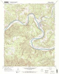
1966 Map of Norfork
USGS Topo · Published 1967About this map
The White River carves a winding path through this portion of the Ozark National Forest in the mid-1960s, punctuated by the confluence with the North Fork River at the town of Norfork. The landscape is defined by its reliance on the river and rail corridor, as seen in the Missouri Pacific River Boundary line and the presence of Arkana Station and Shipps Ferry. The interior terrain is rugged, characterized by family-named landmarks like Matney Knob and Wild Hog Mountain.
Find a feature on this map
63 named features on this map. Tap any name to fly to it.
Don’t see what you’re looking for? This feature index may not catch every label — zoom into the map to look around manually.
Map Details
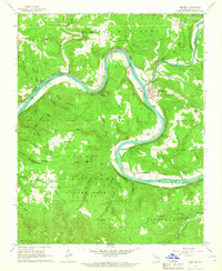
Editions of this 1966 Norfork Map
2 editions found
Other maps of this area

1890 · Mountain Home
USGS Topo · 1:125,000

1891 · Mountain Home
USGS Topo · 1:125,000

1894 · Mountain Home
USGS Topo · 1:125,000

1945 · Harrison
USGS Topo · 1:250,000

1949 · Harrison
USGS Topo · 1:250,000

1954 · Harrison
USGS Topo · 1:250,000

1958 · Harrison
USGS Topo · 1:250,000

1964 · Harrison
USGS Topo · 1:250,000
1964 · Calico Rock
USGS Topo · 1:24,000
1964 · Norfork Dam South
USGS Topo · 1:24,000