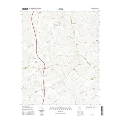
2016 Map of Norman
USGS Topo · Published 2016About this map
Norman serves as a central hub for this rural stretch where Richmond, Montgomery, and Moore counties converge. The landscape is defined by the winding course of Drowning Cr, which forms a significant natural boundary and is crossed by landmarks such as McKenzie Bridge and Stewart Bridge. Agricultural and community life is anchored by several long-standing settlements like Emery, Wind Blow, and Jackson Springs, while the presence of scattered cemeteries such as Pleasant Hill Cem and Gum Springs Cem offers critical coordinates for family historians. The northern portion of the quadrangle shows an interesting concentration of water management features, including North State Orchard Pond Number One and Currys Pond, while the southern reaches near Derby are marked by the Derby Aerodrome, illustrating the blend of traditional farming and light aviation in this Piedmont region.
Find a feature on this map
100 named features on this map. Tap any name to fly to it.
Don’t see what you’re looking for? This feature index may not catch every label — zoom into the map to look around manually.
Map Details
Editions of this 2016 Norman Map
This is the sole edition of this map. No revisions or reprints were ever made.
Other maps of this area

1942 · Troy
USGS Topo · 1:125,000

1949 · Millstone Lake
USGS Topo · 1:24,000

1949 · West End
USGS Topo · 1:24,000

1949 · Hoffman
USGS Topo · 1:24,000

1949 · Jackson Springs
USGS Topo · 1:62,500

1950 · Norman
USGS Topo · 1:24,000

1953 · Raleigh
USGS Topo · 1:250,000

1954 · Raleigh
USGS Topo · 1:250,000

1956 · Ellerbe
USGS Topo · 1:24,000

1956 · Harrisville
USGS Topo · 1:24,000