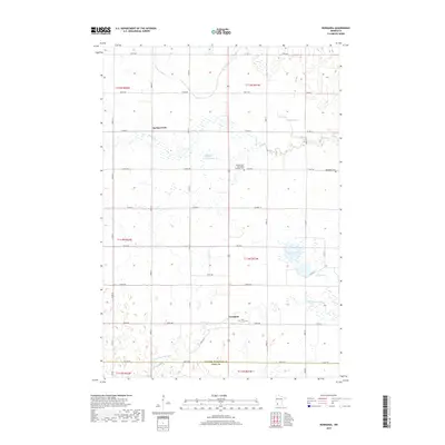
2019 Map of Normania
USGS Topo · Published 2019About this map
The agricultural landscape of Yellow Medicine Co is documented here through its grid of township roads and prairie waterways. The small settlement of Normania serves as a central point, anchored by the Saint Lucas Cem. To the north, the community of Spring Creek is situated near the Mijhre State Wildlife Management Area, a preserved expanse of wetlands and prairie habitat. This area reflects the deep Scandinavian heritage of the region, evidenced by the Spring Creek Norwegian Lutheran Cem and Bethlehem Cem. The southern edge of the quadrangle is defined by the winding course of the Yellow Medicine River, which cuts across the township lines near the border with Lyon Co. Numerous prairie potholes and small lakes, such as Spellman Lake and Miedd Lake, dot the terrain, illustrating the glacial hydrography typical of this part of Minnesota.
Find a feature on this map
35 named features on this map. Tap any name to fly to it.
Don’t see what you’re looking for? This feature index may not catch every label — zoom into the map to look around manually.
Map Details
Editions of this 2019 Normania Map
This is the sole edition of this map. No revisions or reprints were ever made.
Other maps of this area

1953 · New Ulm
USGS Topo · 1:250,000

1957 · New Ulm
USGS Topo · 1:250,000

1958 · New Ulm
USGS Topo · 1:250,000

1962 · Wood Lake NW
USGS Topo · 1:24,000

1962 · Cottonwood
USGS Topo · 1:24,000

1965 · Clarkfield
USGS Topo · 1:24,000

1965 · Hazel Run
USGS Topo · 1:24,000

1965 · Boyd
USGS Topo · 1:24,000

1967 · New Ulm
USGS Topo · 1:250,000

1967 · Minneota
USGS Topo · 1:24,000