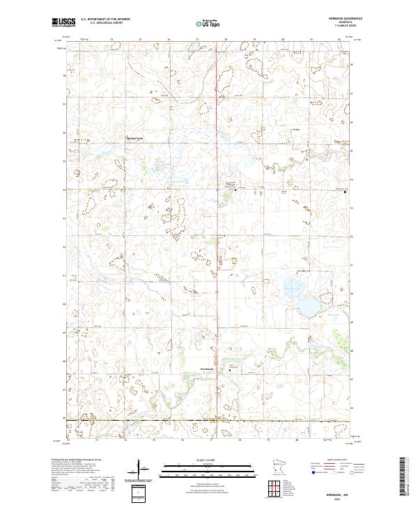
2022 Map of Normania
USGS Topo · Published 2022About this map
Yellow Medicine River meanders through this portion of Yellow Medicine County, anchoring a landscape defined by prairie wetlands and small farming communities. The settlement of Normania and the neighboring Spring Creek area serve as local hubs in a region shaped by Norwegian immigrant heritage. This is reflected in significant genealogical landmarks such as the Spring Creek Norwegian Lutheran Cem and Saint Lucas Cem, which alongside Bethlehem Cem, provide key touchpoints for tracing family history in the township.
Find a feature on this map
36 named features on this map. Tap any name to fly to it.
Don’t see what you’re looking for? This feature index may not catch every label — zoom into the map to look around manually.
Map Details
Editions of this 2022 Normania Map
This is the sole edition of this map. No revisions or reprints were ever made.
Other maps of this area

1953 · New Ulm
USGS Topo · 1:250,000

1957 · New Ulm
USGS Topo · 1:250,000

1958 · New Ulm
USGS Topo · 1:250,000

1962 · Wood Lake NW
USGS Topo · 1:24,000

1962 · Cottonwood
USGS Topo · 1:24,000

1965 · Clarkfield
USGS Topo · 1:24,000

1965 · Hazel Run
USGS Topo · 1:24,000

1965 · Boyd
USGS Topo · 1:24,000

1967 · New Ulm
USGS Topo · 1:250,000

1967 · Minneota
USGS Topo · 1:24,000