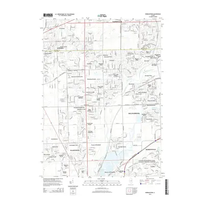
2015 Map of Normantown
USGS Topo · Published 2015About this map
Vermont Cem and Wheatland Cem anchor the historical memory of this landscape where the boundaries of DuPage and Will counties meet. The area is defined by the complex hydrology of the Du Page River and its branches, alongside the Lily Cache Cr and Lilly Cache Slough. Significant cultural markers like the Indian Boundary line and the Illinois and Michigan Canal National Heritage Corridor reveal the layers of regional development and land use.
Find a feature on this map
83 named features on this map. Tap any name to fly to it.
Don’t see what you’re looking for? This feature index may not catch every label — zoom into the map to look around manually.
Map Details
Editions of this 2015 Normantown Map
This is the sole edition of this map. No revisions or reprints were ever made.
Other maps of this area

1892 · Joliet
USGS Topo · 1:62,500

1908 · Wheaton
USGS Topo · 1:62,500

1923 · Joliet
USGS Topo · 1:62,500

1925 · Yorkville
USGS Topo · 1:62,500

1932 · Geneva
USGS Topo · 1:62,500

1948 · Wheaton
USGS Topo · 1:62,500

1948 · Geneva
USGS Topo · 1:62,500

1950 · Aurora North
USGS Topo · 1:24,000

1953 · Naperville
USGS Topo · 1:24,000

1953 · Yorkville SE
USGS Topo · 1:24,000