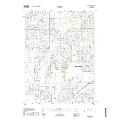
2018 Map of Normantown
USGS Topo · Published 2018About this map
Aurora and Bolingbrook anchor the corners of this modern-era study, revealing the dense suburban expansion along the boundary of DuPage and Will Counties. The landscape is defined by the winding course of the DuPage River and its tributaries, including Spring Brook and Lily Cache Creek. While residential developments dominate the terrain, older historical markers persist, such as the Vermont Cem and Wheatland Cem, providing touchpoints for local genealogy.
Find a feature on this map
36 named features on this map. Tap any name to fly to it.
Don’t see what you’re looking for? This feature index may not catch every label — zoom into the map to look around manually.
Map Details
Editions of this 2018 Normantown Map
This is the sole edition of this map. No revisions or reprints were ever made.
Other maps of this area
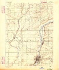
1892 · Joliet
USGS Topo · 1:62,500
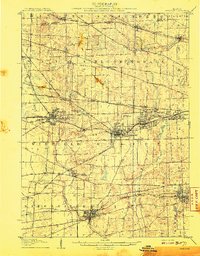
1908 · Wheaton
USGS Topo · 1:62,500
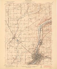
1923 · Joliet
USGS Topo · 1:62,500
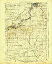
1925 · Yorkville
USGS Topo · 1:62,500
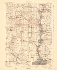
1932 · Geneva
USGS Topo · 1:62,500
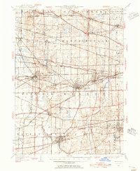
1948 · Wheaton
USGS Topo · 1:62,500
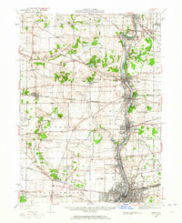
1948 · Geneva
USGS Topo · 1:62,500
1950 · Aurora North
USGS Topo · 1:24,000
1953 · Naperville
USGS Topo · 1:24,000
1953 · Yorkville SE
USGS Topo · 1:24,000