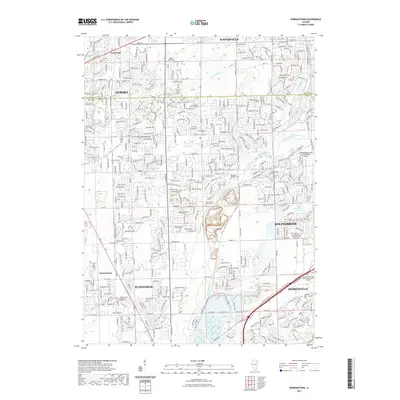
2021 Map of Normantown
USGS Topo · Published 2021About this map
The Du Page River system dominates the geography of this suburban corridor, with the West Branch and East Branch converging as they flow through a rapidly developing landscape. Local history is anchored by several burial grounds, including the Vermont Cem and Wheatland Township Cem, which stand as quiet landmarks amid the residential expansion of Aurora and Plainfield. The intersection of the DuPage and Will county lines bisects the map, illustrating the administrative complexity of this growing region.
Find a feature on this map
37 named features on this map. Tap any name to fly to it.
Don’t see what you’re looking for? This feature index may not catch every label — zoom into the map to look around manually.
Map Details
Editions of this 2021 Normantown Map
This is the sole edition of this map. No revisions or reprints were ever made.
Other maps of this area

1892 · Joliet
USGS Topo · 1:62,500

1908 · Wheaton
USGS Topo · 1:62,500

1923 · Joliet
USGS Topo · 1:62,500

1925 · Yorkville
USGS Topo · 1:62,500

1932 · Geneva
USGS Topo · 1:62,500

1948 · Wheaton
USGS Topo · 1:62,500

1948 · Geneva
USGS Topo · 1:62,500

1950 · Aurora North
USGS Topo · 1:24,000

1953 · Naperville
USGS Topo · 1:24,000

1953 · Yorkville SE
USGS Topo · 1:24,000