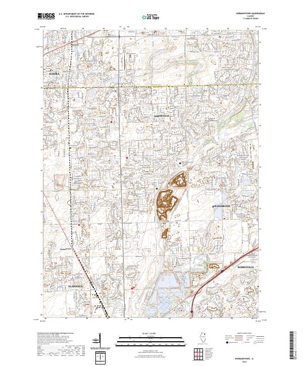
2024 Map of Normantown
USGS Topo · Published 2024About this map
The DuPage River system defines this modern corridor where the West and East branches converge, marking a landscape of significant suburban expansion between Aurora and Bolingbrook. While large-scale residential development characterizes much of the terrain, several local landmarks anchor the area's history, including the Vermont Cem and the Wheatland Township Cem. The map illustrates a high density of transportation and aviation infrastructure, ranging from the Bolingbrook's Clow International Airport to the Naper Aero Club landing strip. In the lower reaches of the quadrangle, the marshy environments of Spring Brook Marsh and the Lilly Cache Slough contrast with the structured grid of the surrounding municipalities. This survey provides a contemporary view of Normantown and Plainfield as they integrate into the broader metropolitan fabric of the DuPage and Will county line.
Find a feature on this map
33 named features on this map. Tap any name to fly to it.
Don’t see what you’re looking for? This feature index may not catch every label — zoom into the map to look around manually.
Map Details
Editions of this 2024 Normantown Map
This is the sole edition of this map. No revisions or reprints were ever made.
Other maps of this area

1892 · Joliet
USGS Topo · 1:62,500

1908 · Wheaton
USGS Topo · 1:62,500

1923 · Joliet
USGS Topo · 1:62,500

1925 · Yorkville
USGS Topo · 1:62,500

1932 · Geneva
USGS Topo · 1:62,500

1948 · Wheaton
USGS Topo · 1:62,500

1948 · Geneva
USGS Topo · 1:62,500

1950 · Aurora North
USGS Topo · 1:24,000

1953 · Naperville
USGS Topo · 1:24,000

1953 · Yorkville SE
USGS Topo · 1:24,000