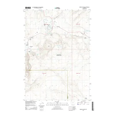
2015 Map of Norris Junction
USGS Topo · Published 2015About this map
Norris Geyser Basin serves as the focal point for this survey of hydrothermal activity within Yellowstone National Park. The concentration of thermal features is dense near Norris Junction, where the world-renowned Steamboat Geyser and Congress Pool highlight the dynamic geology of the One Hundred Spring Plain. The landscape transitions from the steaming vents and pools of the Gibbon Geyser Basin to the elevated terrain of Gibbon Hill and Paintpot Hill. Further exploration of the hydrologic network reveals Artists Paintpots and several named thermal vents including Fearless Geyser and Whirligig Geyser. The Gibbon River winds through Elk Park and Gibbon Meadows, illustrating how the waterway connects these active geothermal zones. This 2015 edition provides modern topographical detail for the Central Plateau and the surrounding wilderness.
Find a feature on this map
55 named features on this map. Tap any name to fly to it.
Don’t see what you’re looking for? This feature index may not catch every label — zoom into the map to look around manually.
Map Details
Editions of this 2015 Norris Junction Map
This is the sole edition of this map. No revisions or reprints were ever made.
Other maps of this area
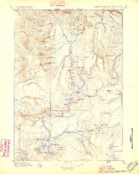
1885 · Gallatin
USGS Topo · 1:125,000
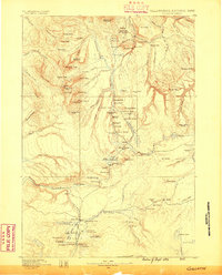
1885 · Gallatin
USGS Topo · 1:125,000
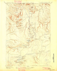
1901 · Gallatin
USGS Topo · 1:125,000
1908 · Gallatin
USGS Topo · 1:125,000
1911 · Gallatin
USGS Topo · 1:125,000

1955 · Ashton
USGS Topo · 1:250,000
1958 · Ashton
USGS Topo · 1:250,000
1958 · Madison Junction
USGS Topo · 1:62,500
1958 · Mount Holmes
USGS Topo · 1:62,500
1958 · Norris Junction
USGS Topo · 1:62,500