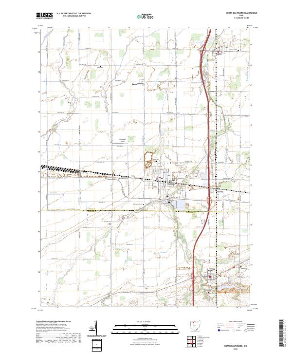
2023 Map of North Baltimore
USGS Topo · Published 2023About this map
The village of North Baltimore serves as the primary hub in this corner of northwest Ohio, where the grid-like agricultural landscape is bisected by the heavy transit corridor of the S Dixie Hwy. Stretching across the border of Wood Co and Hancock Co, the terrain is marked by gentle elevations like Callahan Ridge and Howard Ridge that influence the drainage of Rader Creek and Rocky Ford.
Find a feature on this map
87 named features on this map. Tap any name to fly to it.
Don’t see what you’re looking for? This feature index may not catch every label — zoom into the map to look around manually.
Map Details
Editions of this 2023 North Baltimore Map
This is the sole edition of this map. No revisions or reprints were ever made.
Other maps of this area

1901 · Bowling Green
USGS Topo · 1:62,500

1903 · Bowling Green
USGS Topo · 1:62,500

1903 · Findlay
USGS Topo · 1:62,500

1909 · Mc Clure
USGS Topo · 1:62,500

1956 · Toledo
USGS Topo · 1:250,000

1958 · Jerry City
USGS Topo · 1:24,000

1958 · Bowling Green South
USGS Topo · 1:24,000

1960 · Bloomdale
USGS Topo · 1:24,000

1960 · North Baltimore
USGS Topo · 1:24,000
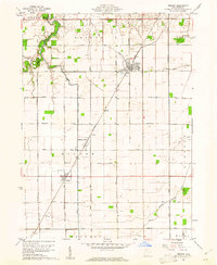
1960 · Weston
USGS Topo · 1:24,000
Featured Places
- North Baltimore, OH
- Cygnet, OH
- Van Buren, OH
- North Baltimore, OH
- Eagle Landing Mobile Home Park, North Baltimore