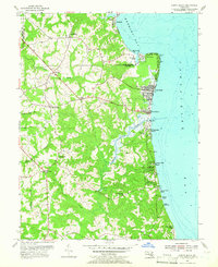
1953 Map of North Beach
USGS Topo · Published 1966About this map
North Beach and Chesapeake Beach anchor the coastline in this mid-century survey of the Calvert County shore. The landscape transitions from the sandy stretches of Rose Haven near the Anne Arundel County line to the specialized terrain of the U S Naval Reservation further south. Inland, the map reveals a rural network of crossroads and family settlements such as Mt Harmony, Sunderland, and Friendship, interconnected by winding roads that follow the ridges above Fishing Creek and Hall Creek. Local life is centered around community pillars like All Saints Ch, St Edmonds Ch, and the Beach Sch. The coastal character is defined by a series of planned retreats and colonies, including Randle Cliff Beach, Holiday Beach, and Camp Roosevelt, showcasing the area's development as a regional destination for Chesapeake Bay recreation before the heavy suburban expansion of later decades.
Find a feature on this map
35 named features on this map. Tap any name to fly to it.
Don’t see what you’re looking for? This feature index may not catch every label — zoom into the map to look around manually.
Map Details
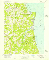
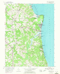
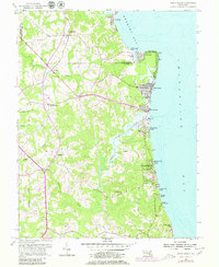
Editions of this 1953 North Beach Map
4 editions found
Other maps of this area

1892 · Prince Frederick
USGS Topo · 1:62,500

1892 · Owensville
USGS Topo · 1:62,500

1892 · Annapolis
USGS Topo · 1:62,500

1893 · Sharps Island
USGS Topo · 1:62,500

1895 · Prince Frederick
USGS Topo · 1:62,500

1895 · Owensville
USGS Topo · 1:62,500

1898 · Choptank
USGS Topo · 1:125,000

1899 · Patuxent
USGS Topo · 1:125,000

1901 · Prince Frederick
USGS Topo · 1:62,500

1904 · Annapolis
USGS Topo · 1:62,500