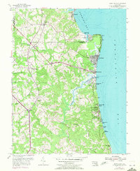
1953 Map of North Beach
USGS Topo · Published 1971About this map
North Beach and Chesapeake Beach anchor the coastline in this detailed survey of the western shore, where the development of mid-century summer colonies and year-round settlements meets the agricultural interior. The map illustrates a landscape shaped by tidal waterways, with Fishing Creek winding through the lowlands toward the Chesapeake Bay. Coastal communities like Randle Cliff Beach, Holiday Beach, and Willow Beach Colony show the dense lotting of a burgeoning resort era, while the inland areas around Friendship and Sunderland maintain a more rural character defined by scattered farmsteads and historic parishes such as All Saints Ch. Significant maritime and military activity is represented by Rose Haven Harbor on Herring Bay and the nearby U S Naval Reservation, providing a record of how federal and recreational interests occupied this stretch of Calvert and Anne Arundel counties.
Find a feature on this map
35 named features on this map. Tap any name to fly to it.
Don’t see what you’re looking for? This feature index may not catch every label — zoom into the map to look around manually.
Map Details
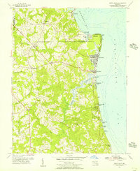
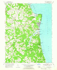
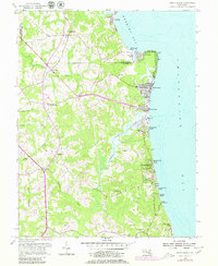
Editions of this 1953 North Beach Map
4 editions found
Other maps of this area

1892 · Prince Frederick
USGS Topo · 1:62,500

1892 · Owensville
USGS Topo · 1:62,500

1892 · Annapolis
USGS Topo · 1:62,500

1893 · Sharps Island
USGS Topo · 1:62,500

1895 · Prince Frederick
USGS Topo · 1:62,500

1895 · Owensville
USGS Topo · 1:62,500

1898 · Choptank
USGS Topo · 1:125,000

1899 · Patuxent
USGS Topo · 1:125,000

1901 · Prince Frederick
USGS Topo · 1:62,500

1904 · Annapolis
USGS Topo · 1:62,500