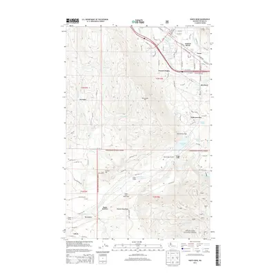
2014 Map of North Bend
USGS Topo · Published 2014About this map
North Bend sits at the northern edge of this landscape, where the Middle Fork Snoqualmie River and South Fork Snoqualmie River converge near the landmark peak of Little Si. This 2014 survey documents a complex transition between the developed corridors of Harman Heights and Tanner and the protected forest lands to the south. The extensive Cedar River Watershed dominates the lower half of the sheet, preserving a terrain defined by narrow drainages like Coon Cr and Taylor Cr that flow toward Chester Morse Lake.
Find a feature on this map
98 named features on this map. Tap any name to fly to it.
Don’t see what you’re looking for? This feature index may not catch every label — zoom into the map to look around manually.
Map Details
Editions of this 2014 North Bend Map
This is the sole edition of this map. No revisions or reprints were ever made.
Other maps of this area

1913 · Cedar Lake
USGS Topo · 1:125,000

1921 · Sultan
USGS Topo · 1:125,000

1923 · Sultan
USGS Topo · 1:125,000

1953 · Snoqualmie
USGS Topo · 1:24,000

1953 · North Bend
USGS Topo · 1:24,000

1953 · Hobart
USGS Topo · 1:24,000

1953 · Fall City
USGS Topo · 1:24,000

1953 · Eagle Gorge
USGS Topo · 1:24,000

1953 · Cumberland
USGS Topo · 1:24,000

1957 · Wenatchee
USGS Topo · 1:250,000