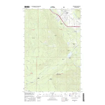
2017 Map of North Bend
USGS Topo · Published 2017About this map
The South Fork Snoqualmie River and its various tributaries define the lowlands of this King County landscape, where the town of North Bend serves as a central hub. The topography rises sharply toward the southwest into the Snoqualmie National Forest, anchored by the prominent Rattlesnake Mtn and the sheer Rattlesnake Ledge. Water management and transportation routes are central to the area's development, evidenced by the Masonry Pool on the Cedar River and the expansive Rattlesnake Lake.
Find a feature on this map
102 named features on this map. Tap any name to fly to it.
Don’t see what you’re looking for? This feature index may not catch every label — zoom into the map to look around manually.
Map Details
Editions of this 2017 North Bend Map
This is the sole edition of this map. No revisions or reprints were ever made.
Other maps of this area

1913 · Cedar Lake
USGS Topo · 1:125,000

1921 · Sultan
USGS Topo · 1:125,000

1923 · Sultan
USGS Topo · 1:125,000

1953 · Snoqualmie
USGS Topo · 1:24,000

1953 · North Bend
USGS Topo · 1:24,000

1953 · Hobart
USGS Topo · 1:24,000

1953 · Fall City
USGS Topo · 1:24,000

1953 · Eagle Gorge
USGS Topo · 1:24,000

1953 · Cumberland
USGS Topo · 1:24,000

1957 · Wenatchee
USGS Topo · 1:250,000