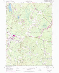
1956 Map of North Berwick
USGS Topo · Published 1974About this map
North Berwick serves as the primary hub of this inland York County landscape, where the Boston and Maine Railroad and an Old Railroad Grade trace the legacy of 19th-century transportation. The map reveals a highly decentralized pattern of settlement, defined by numerous named intersections and crossroads such as Saywards Corner, Parsonage Corner, and Grays Corner. These small clusters often grew around family farms and local industries, which are represented here by several Quarries and a Borrow Pit.
Find a feature on this map
64 named features on this map. Tap any name to fly to it.
Don’t see what you’re looking for? This feature index may not catch every label — zoom into the map to look around manually.
Map Details
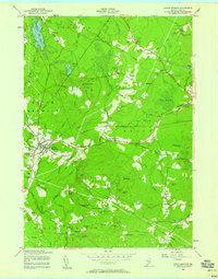
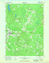
Editions of this 1956 North Berwick Map
3 editions found
Other maps of this area

1891 · Berwick
USGS Topo · 1:62,500

1891 · Kennebunk
USGS Topo · 1:62,500

1893 · Kennebunk
USGS Topo · 1:62,500

1893 · Dover
USGS Topo · 1:62,500

1893 · Berwick
USGS Topo · 1:62,500

1893 · York
USGS Topo · 1:62,500

1898 · Kennebunk
USGS Topo · 1:62,500

1916 · Dover
USGS Topo · 1:62,500

1918 · Dover
USGS Topo · 1:62,500

1920 · York
USGS Topo · 1:62,500