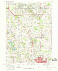
1967 Map of North Canton
USGS Topo · Published 1970About this map
North Canton and its surrounding townships in late 1960s Ohio reveal a landscape balancing suburban expansion with established rural industry. The Akron-Canton Airport and an Air National Guard facility occupy a central position, reflecting the region's mid-century aviation infrastructure. Settlement patterns are dense near Greentown, Greensburg, and Aultman, while the southern reaches show the emerging residential grids of Plain and Jackson townships.
Find a feature on this map
73 named features on this map. Tap any name to fly to it.
Don’t see what you’re looking for? This feature index may not catch every label — zoom into the map to look around manually.
Map Details
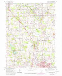
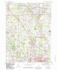
Editions of this 1967 North Canton Map
3 editions found
Other maps of this area

1901 · Massillon
USGS Topo · 1:62,500

1901 · Canton
USGS Topo · 1:62,500

1903 · Massillon
USGS Topo · 1:62,500

1903 · Canton
USGS Topo · 1:62,500

1903 · Akron
USGS Topo · 1:62,500

1905 · Akron
USGS Topo · 1:62,500

1906 · Kent
USGS Topo · 1:62,500

1950 · Cleveland
USGS Topo · 1:250,000

1951 · Canton
USGS Topo · 1:250,000

1953 · Canton
USGS Topo · 1:250,000