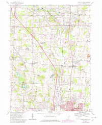
1967 Map of North Canton
USGS Topo · Published 1978About this map
North Canton and its surrounding townships in Stark and Summit counties appear here during a period of significant suburban expansion and infrastructure growth. The central landscape is dominated by the Akron-Canton Airport and the path of Interstate 77, which together shaped the development of communities like Greensburg and Greentown. The map captures the industrial and natural character of the region, from the active Strip Mine operations in the east to the residential clusters around Willowdale Lake and Singer Lake. Local civic life is anchored by landmarks such as Green High Sch, the Queen of Heaven Ch, and several historic burying grounds including Greenlawn Cem and Woods Cem. The presence of the Baltimore and Ohio railroad corridor and local water bodies like the Tuscarawas River further illustrate the area's transition from a rural agricultural and mining district into a modern regional hub.
Find a feature on this map
53 named features on this map. Tap any name to fly to it.
Don’t see what you’re looking for? This feature index may not catch every label — zoom into the map to look around manually.
Map Details
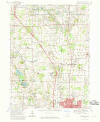
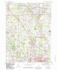
Editions of this 1967 North Canton Map
3 editions found
Other maps of this area

1901 · Massillon
USGS Topo · 1:62,500

1901 · Canton
USGS Topo · 1:62,500

1903 · Massillon
USGS Topo · 1:62,500

1903 · Canton
USGS Topo · 1:62,500

1903 · Akron
USGS Topo · 1:62,500

1905 · Akron
USGS Topo · 1:62,500

1906 · Kent
USGS Topo · 1:62,500

1950 · Cleveland
USGS Topo · 1:250,000

1951 · Canton
USGS Topo · 1:250,000

1953 · Canton
USGS Topo · 1:250,000