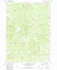
1969 Map of North Canyon
USGS Topo · Published 1984About this map
Bear Lake Caribou National Forest dominates this high-altitude landscape, where the Bear River Range forms a complex network of basins and hollows. The survey details a rugged interior accessible primarily by a web of paths such as the Cheatbeck Basin Trail and the South Ant Canyon Jeep Trail. These routes connect remote water sources like Tie Camp Spring and Humberg Spring, reflecting the area's importance for seasonal grazing and forestry.
Find a feature on this map
59 named features on this map. Tap any name to fly to it.
Don’t see what you’re looking for? This feature index may not catch every label — zoom into the map to look around manually.
Map Details
Editions of this 1969 North Canyon Map
2 editions found

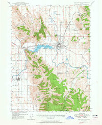
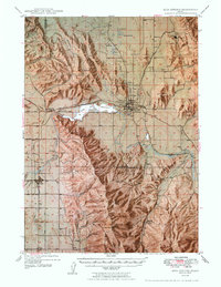
Other maps of this area

1909 · Montpelier
USGS Topo · 1:125,000

1911 · Montpelier
USGS Topo · 1:125,000

1911 · Slug Creek
USGS Topo · 1:62,500

1915 · Preston
USGS Topo · 1:96,000

1918 · Preston
USGS Topo · 1:125,000
1948 · Soda Springs
USGS Topo · 1:62,500
1949 · Soda Springs
USGS Topo · 1:62,500

1955 · Preston
USGS Topo · 1:250,000

1958 · Preston
USGS Topo · 1:250,000

1962 · Preston
USGS Topo · 1:250,000