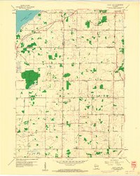
1959 Map of North Cape
USGS Topo · Published 1960About this map
Agricultural lands at the borders of Racine, Milwaukee, and Waukesha Counties define this late-1950s landscape. Small rural centers like Union Church and North Cape anchor the community, surrounded by a dense network of country schools that include Drought Sch, Deremer Sch, and East Cape Sch. This pattern reflects a mid-century period before significant suburban expansion, where the geography was still dictated by township lines like Norway and Raymond.
Find a feature on this map
46 named features on this map. Tap any name to fly to it.
Don’t see what you’re looking for? This feature index may not catch every label — zoom into the map to look around manually.
Map Details
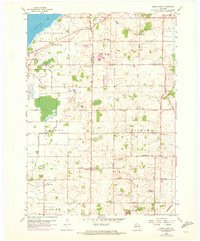
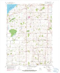
Editions of this 1959 North Cape Map
3 editions found
Other maps of this area

1891 · Bayview
USGS Topo · 1:62,500

1891 · Muskego
USGS Topo · 1:62,500

1892 · Racine
USGS Topo · 1:62,500

1893 · Silver Lake
USGS Topo · 1:62,500

1901 · Bayview
USGS Topo · 1:62,500

1901 · Muskego
USGS Topo · 1:62,500

1905 · Racine
USGS Topo · 1:62,500

1906 · Silver Lake
USGS Topo · 1:62,500

1954 · Rockford
USGS Topo · 1:250,000

1955 · Rockford
USGS Topo · 1:250,000