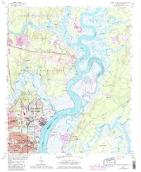
1958 Map of North Charleston
USGS Topo · Published 1980About this map
Cooper River and Goose Creek define the landscape of this mid-century coastal South Carolina survey, which captures the industrial and military expansion of the Lowcountry. The U S Army Reservation Charleston Depot and various naval installations occupy significant riverfront acreage, while the residential core of North Charleston takes shape around planned landmarks like Park Circle and Montague Circle. The river system, including the Back River and Clouter Creek, remains a commercial artery evidenced by the Port Terminal and numerous landings. Beyond the military zones, the map documents a transition from industrial hubs to smaller communities such as Oak Terrace, supported by local institutions like St Peters Ch and Bonds-Wilson High Sch. Natural features like Daniel Island and Big Island are shown in their earlier state, before the extensive suburban development of later decades.
Find a feature on this map
63 named features on this map. Tap any name to fly to it.
Don’t see what you’re looking for? This feature index may not catch every label — zoom into the map to look around manually.
Map Details
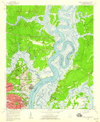
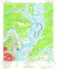
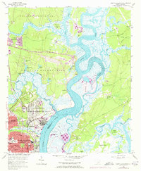
Editions of this 1958 North Charleston Map
4 editions found
Other maps of this area

1919 · Ladson
USGS Topo · 1:21,120

1919 · Johns Island
USGS Topo · 1:21,120

1919 · Summerville
USGS Topo · 1:48,000

1919 · Wando
USGS Topo · 1:21,120

1919 · Cordesville
USGS Topo · 1:48,000

1919 · Melgrove
USGS Topo · 1:21,120

1919 · Charleston
USGS Topo · 1:21,120

1919 · Fort Moultrie
USGS Topo · 1:21,120

1920 · Ravenels
USGS Topo · 1:62,500

1920 · Summerville
USGS Topo · 1:62,500