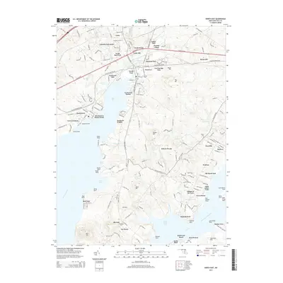
2014 Map of North East
USGS Topo · Published 2014About this map
The town of North East serves as the focal point of this coastal Maryland landscape, situated where North East Creek meets the head of the North East River. The 2014 terrain is defined by a series of points and coves along the water, including Hance Point and Sandy Cove, illustrating a pattern of development that follows the jagged shoreline. Further south, the map details the residential pockets of the Elk Neck peninsula, featuring Joy Haven and the Villages of Elk Neck.
Find a feature on this map
156 named features on this map. Tap any name to fly to it.
Don’t see what you’re looking for? This feature index may not catch every label — zoom into the map to look around manually.
Map Details
Editions of this 2014 North East Map
This is the sole edition of this map. No revisions or reprints were ever made.
Other maps of this area

1898 · Elkton
USGS Topo · 1:62,500

1898 · Tolchester
USGS Topo · 1:125,000

1899 · Dover
USGS Topo · 1:125,000

1900 · Elkton
USGS Topo · 1:62,500

1900 · Cecilton
USGS Topo · 1:62,500

1900 · Havre De Grace
USGS Topo · 1:62,500

1900 · Betterton
USGS Topo · 1:62,500

1903 · Tolchester
USGS Topo · 1:125,000

1906 · Dover
USGS Topo · 1:125,000

1908 · Tolchester
USGS Topo · 1:125,000