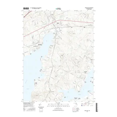
2016 Map of North East
USGS Topo · Published 2016About this map
The North East River and its numerous coves and points dominate this Cecil County landscape, where the town of North East serves as a primary hub. This area transitions from the inland settlement of Leslie down to the tidal waters of the Chesapeake Bay, featuring a shoreline marked by distinct landmarks like Seneca Point and Hance Point. The map illustrates the complex interaction between land and water along the Intracoastal Waterway, with residential communities such as Charlestown, Elkmore, and Hollywood Beach clustered near the riverbanks.
Find a feature on this map
171 named features on this map. Tap any name to fly to it.
Don’t see what you’re looking for? This feature index may not catch every label — zoom into the map to look around manually.
Map Details
Editions of this 2016 North East Map
This is the sole edition of this map. No revisions or reprints were ever made.
Other maps of this area

1898 · Elkton
USGS Topo · 1:62,500

1898 · Tolchester
USGS Topo · 1:125,000

1899 · Dover
USGS Topo · 1:125,000

1900 · Elkton
USGS Topo · 1:62,500

1900 · Cecilton
USGS Topo · 1:62,500

1900 · Havre De Grace
USGS Topo · 1:62,500

1900 · Betterton
USGS Topo · 1:62,500

1903 · Tolchester
USGS Topo · 1:125,000

1906 · Dover
USGS Topo · 1:125,000

1908 · Tolchester
USGS Topo · 1:125,000