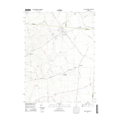
2013 Map of North Lewisburg
USGS Topo · Published 2013About this map
North Lewisburg and the nearby villages of Woodstock and Middletown define this corner of the Ohio countryside where Logan, Union, and Champaign counties meet. The landscape is deeply tied to its rural heritage, marked by numerous burial grounds such as Quaker Cem, Jenkins Chapel Cem, and Sodom Cem. The drainage pattern is led by Big Darby Cr, which is crossed by the Upper Darby Bridge, and Spain Cr, featuring the Spain Creek Bridge.
Find a feature on this map
73 named features on this map. Tap any name to fly to it.
Don’t see what you’re looking for? This feature index may not catch every label — zoom into the map to look around manually.
Map Details
Editions of this 2013 North Lewisburg Map
This is the sole edition of this map. No revisions or reprints were ever made.
Other maps of this area

1913 · East Liberty
USGS Topo · 1:62,500

1913 · Richwood
USGS Topo · 1:62,500

1914 · Mechanicsburg
USGS Topo · 1:62,500

1915 · Richwood
USGS Topo · 1:62,500

1915 · East Liberty
USGS Topo · 1:62,500

1916 · Mechanicsburg
USGS Topo · 1:62,500

1916 · Milford Center
USGS Topo · 1:62,500

1944 · East Liberty
USGS Topo · 1:62,500

1944 · Mechanicsburg
USGS Topo · 1:62,500

1944 · Richwood
USGS Topo · 1:62,500