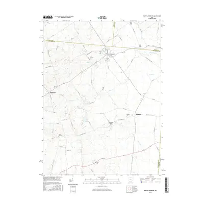
2016 Map of North Lewisburg
USGS Topo · Published 2016About this map
North Lewisburg and the surrounding agricultural lands of Champaign County are defined by a network of small headwater creeks and numerous community burial grounds. This rural landscape is drained by Spain Cr, Pleasant Run, and the Big Darby Cr, which flows under the Upper Darby Bridge near the Union County line. The settlement pattern remains centered on historic crossroads like Woodstock and Middletown, while the presence of over a dozen family and community cemeteries, such as Quaker Cem and the uniquely named Sodom Cem, provides significant value for genealogical research. The inclusion of Brush Lake and Fountain Park suggests local recreation and social hubs within the farming district. A transition from traditional township roads to early 21st-century corridors like Us Rte 36 shows the evolution of local transit while the interior remains remarkably tied to its 19th-century platting.
Find a feature on this map
84 named features on this map. Tap any name to fly to it.
Don’t see what you’re looking for? This feature index may not catch every label — zoom into the map to look around manually.
Map Details
Editions of this 2016 North Lewisburg Map
This is the sole edition of this map. No revisions or reprints were ever made.
Other maps of this area

1913 · East Liberty
USGS Topo · 1:62,500

1913 · Richwood
USGS Topo · 1:62,500

1914 · Mechanicsburg
USGS Topo · 1:62,500

1915 · Richwood
USGS Topo · 1:62,500

1915 · East Liberty
USGS Topo · 1:62,500

1916 · Mechanicsburg
USGS Topo · 1:62,500

1916 · Milford Center
USGS Topo · 1:62,500

1944 · East Liberty
USGS Topo · 1:62,500

1944 · Mechanicsburg
USGS Topo · 1:62,500

1944 · Richwood
USGS Topo · 1:62,500