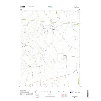
2019 Map of North Lewisburg
USGS Topo · Published 2019About this map
North Lewisburg and the surrounding tri-county borderlands of Champaign, Logan, and Union counties are depicted here in detail, showcasing a landscape of agricultural tradition and dispersed rural settlements. The village of Woodstock serves as a secondary hub in the southeast, while smaller locales like Fountain Park and Middletown maintain their distinct geographic identities. The area is notable for its high density of family and historic burial grounds, such as Quaker Cem and Sodom Cem, providing significant touchpoints for genealogical research.
Find a feature on this map
80 named features on this map. Tap any name to fly to it.
Don’t see what you’re looking for? This feature index may not catch every label — zoom into the map to look around manually.
Map Details
Editions of this 2019 North Lewisburg Map
This is the sole edition of this map. No revisions or reprints were ever made.
Other maps of this area

1913 · East Liberty
USGS Topo · 1:62,500

1913 · Richwood
USGS Topo · 1:62,500

1914 · Mechanicsburg
USGS Topo · 1:62,500

1915 · Richwood
USGS Topo · 1:62,500

1915 · East Liberty
USGS Topo · 1:62,500

1916 · Mechanicsburg
USGS Topo · 1:62,500

1916 · Milford Center
USGS Topo · 1:62,500

1944 · East Liberty
USGS Topo · 1:62,500

1944 · Mechanicsburg
USGS Topo · 1:62,500

1944 · Richwood
USGS Topo · 1:62,500