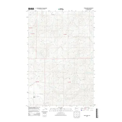
2013 Map of North Nemah
USGS Topo · Published 2013About this map
North Nemah sits near the southern edge of this coastal forest landscape, where the Nemah Hatchery and local access ways like Nemah Valley Rd indicate the area's ongoing connection to the regional timber and fishing economies. The terrain is defined by an intricate network of drainage systems, including the Canon River, the Middle Fork Palix River, and the S Fork Willapa River. These waterways carve through steep ridges, creating a geography dominated by the narrow valleys of Pickernell Cr and Williams Cr.
Find a feature on this map
24 named features on this map. Tap any name to fly to it.
Don’t see what you’re looking for? This feature index may not catch every label — zoom into the map to look around manually.
Map Details
Editions of this 2013 North Nemah Map
This is the sole edition of this map. No revisions or reprints were ever made.
Other maps of this area

1938 · Fort Columbia
USGS Topo · 1:62,500

1938 · South Bend
USGS Topo · 1:62,500

1940 · Brookfield
USGS Topo · 1:62,500

1940 · South Bend
USGS Topo · 1:62,500

1943 · Fort Columbia
USGS Topo · 1:62,500

1949 · Upper Naselle River
USGS Topo · 1:24,000

1949 · Oman Ranch
USGS Topo · 1:24,000

1949 · Long Island
USGS Topo · 1:24,000

1953 · Hoquiam
USGS Topo · 1:250,000

1955 · Grays River
USGS Topo · 1:62,500