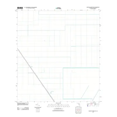
2012 Map of North of Deem City
USGS Topo · Published 2012About this map
The North New River Canal cuts a prominent diagonal across this portion of Palm Beach County, serving as the primary geographical anchor for an otherwise heavily partitioned agricultural landscape. This 2012 survey illustrates the systematic drainage and land management systems prevalent in the Florida Everglades region, characterized by a vast grid of irrigation channels and access paths. Parallel to the waterway, Levee 18 provides a critical structural boundary, reflecting the region's complex water control infrastructure designed to manage the flow through the low-lying terrain. The map captures a moment in the modern era of industrial-scale farming and conservation management, where the geometric precision of the fields stands in stark contrast to the original wetland environment.
Find a feature on this map
2 named features on this map. Tap any name to fly to it.
Don’t see what you’re looking for? This feature index may not catch every label — zoom into the map to look around manually.
Map Details
Editions of this 2012 North of Deem City Map
This is the sole edition of this map. No revisions or reprints were ever made.
Other maps of this area

1956 · West Palm Beach
USGS Topo · 1:250,000

1957 · West Palm Beach
USGS Topo · 1:250,000

1958 · West Palm Beach
USGS Topo · 1:250,000

1970 · Okeelanta
USGS Topo · 1:24,000

1970 · Loxahatchee SW
USGS Topo · 1:24,000

1970 · Shawano
USGS Topo · 1:24,000

1973 · Fort Lauderdale 2 SW
USGS Topo · 1:24,000

1974 · Everglades 1 SW
USGS Topo · 1:24,000

1974 · Everglades 1 NW
USGS Topo · 1:24,000

1974 · Everglades 1 SE
USGS Topo · 1:24,000