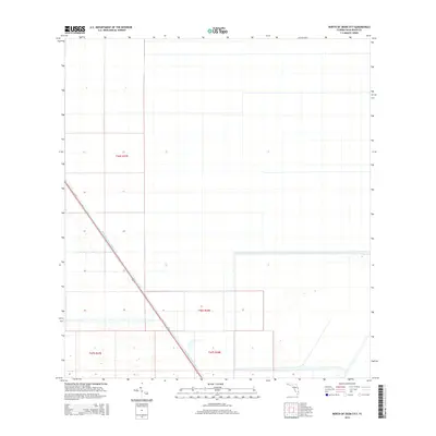
2015 Map of North of Deem City
USGS Topo · Published 2015About this map
The North New River Canal cuts a striking diagonal through this section of southern Florida, illustrating the monumental water management efforts that defined the region in the twenty-first century. This portion of Palm Beach County is largely characterized by a rigid grid of agricultural or conservation tracts, bounded by survey lines such as t46s r38e and t47s r37e. The landscape here represents the managed transition between the agricultural lands south of Lake Okeechobee and the broader Everglades ecosystem, where the massive canal system serves as the primary infrastructure for drainage and irrigation. The sparse labeling reflects a specialized land use where surveyors and water managers have shaped the terrain into precise geometric blocks.
Find a feature on this map
5 named features on this map. Tap any name to fly to it.
Don’t see what you’re looking for? This feature index may not catch every label — zoom into the map to look around manually.
Map Details
Editions of this 2015 North of Deem City Map
This is the sole edition of this map. No revisions or reprints were ever made.
Other maps of this area

1956 · West Palm Beach
USGS Topo · 1:250,000

1957 · West Palm Beach
USGS Topo · 1:250,000

1958 · West Palm Beach
USGS Topo · 1:250,000
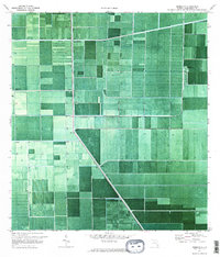
1970 · Okeelanta
USGS Topo · 1:24,000
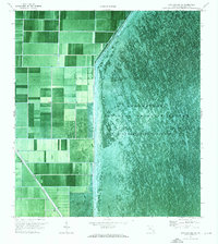
1970 · Loxahatchee SW
USGS Topo · 1:24,000
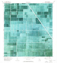
1970 · Shawano
USGS Topo · 1:24,000
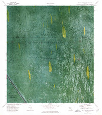
1973 · Fort Lauderdale 2 SW
USGS Topo · 1:24,000
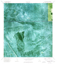
1974 · Everglades 1 SW
USGS Topo · 1:24,000
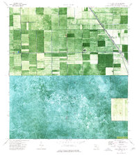
1974 · Everglades 1 NW
USGS Topo · 1:24,000
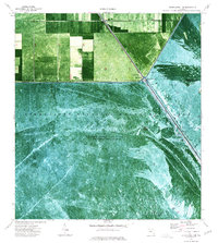
1974 · Everglades 1 SE
USGS Topo · 1:24,000