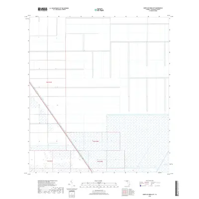
2018 Map of North of Deem City
USGS Topo · Published 2018About this map
The Everglades define the southern landscape of this Palm Beach County region, where the vast wetlands of South Florida transition into a highly structured system of agricultural drainage and water management. The most prominent engineered feature is the North New River Canal, which cuts diagonally across the terrain, serving as a critical artery for water control in the Northern Everglades. The map illustrates the geometric precision of the Public Land Survey System, showing the township and range divisions such as t46s r37e and t47s r38e. This area represents the intense intersection of conservation and reclamation efforts, showing the expansive wetland signature set against the rigid lines of man-made canals and property boundaries typical of the Florida sugar and winter vegetable growing regions.
Find a feature on this map
6 named features on this map. Tap any name to fly to it.
Don’t see what you’re looking for? This feature index may not catch every label — zoom into the map to look around manually.
Map Details
Editions of this 2018 North of Deem City Map
This is the sole edition of this map. No revisions or reprints were ever made.
Other maps of this area

1956 · West Palm Beach
USGS Topo · 1:250,000

1957 · West Palm Beach
USGS Topo · 1:250,000

1958 · West Palm Beach
USGS Topo · 1:250,000
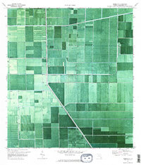
1970 · Okeelanta
USGS Topo · 1:24,000
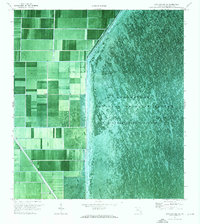
1970 · Loxahatchee SW
USGS Topo · 1:24,000
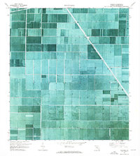
1970 · Shawano
USGS Topo · 1:24,000
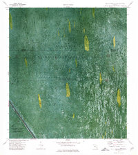
1973 · Fort Lauderdale 2 SW
USGS Topo · 1:24,000
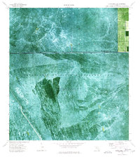
1974 · Everglades 1 SW
USGS Topo · 1:24,000
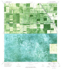
1974 · Everglades 1 NW
USGS Topo · 1:24,000
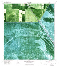
1974 · Everglades 1 SE
USGS Topo · 1:24,000