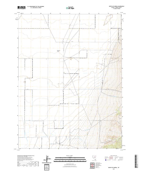
2021 Map of North of Eureka
USGS Topo · Published 2021About this map
Diamond Valley characterizes this high desert landscape north of Eureka, Nevada, where the valley floor transitions into rising slopes marked by intermittent watercourses. Seasonal drainage is defined by several small streams, including Minoletti Cr, Cottonwood Cr, and Pedrioli Cr which descend from the eastern elevations. The western reaches are tracked by Slough Cr and Simpson Cr, indicating the basin's hydrology. The grid of the Public Land Survey System imposes order on this basin, with township lines like t21n r53e and t21n r54e cutting across the terrain. A network of rural routes, including Keg Rd and Cottonwood Ranch Rd, provides access to ranching lands and remote parcels, illustrating the sparse but organized settlement pattern of the modern era.
Find a feature on this map
23 named features on this map. Tap any name to fly to it.
Don’t see what you’re looking for? This feature index may not catch every label — zoom into the map to look around manually.
Map Details
Editions of this 2021 North of Eureka Map
This is the sole edition of this map. No revisions or reprints were ever made.
Other maps of this area

1926 · Roberts Mountains
USGS Topo · 1:250,000

1929 · Roberts Mountains
USGS Topo · 1:250,000

1949 · Garden Valley
USGS Topo · 1:62,500

1951 · Garden Valley
USGS Topo · 1:62,500

1953 · Eureka
USGS Topo · 1:62,500

1955 · Millett
USGS Topo · 1:250,000

1956 · Whistler Mtn
USGS Topo · 1:62,500

1956 · Ely
USGS Topo · 1:250,000

1957 · Diamond Springs
USGS Topo · 1:62,500

1959 · Ely
USGS Topo · 1:250,000