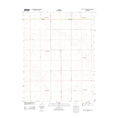
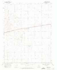
2013 Map of North of Sheridan Lake
USGS Topo · Published 2013About this map
The high plains of eastern Colorado are defined by a meticulous grid of rural routes, primarily centered around the north-south corridor of Us 385 N. This 2013 survey illustrates the agricultural organization of the land at the boundary where Cheyenne County and Kiowa County meet. The landscape is segmented into townships and ranges, with a network of local roads such as Co Road A and Co Road AA providing access to the vast open sections of this portion of the Great Plains. The topography is subtle, showing the gentle drainage patterns and contours that characterize this high-elevation steppe environment. While largely devoid of concentrated settlements, the map provides a clear record of land ownership patterns and the road infrastructure, including Co Road 66 and Co Road 63, used by local ranching and farming operations in the early 21st century.
Find a feature on this map
25 named features on this map. Tap any name to fly to it.
Don’t see what you’re looking for? This feature index may not catch every label — zoom into the map to look around manually.
Map Details
Editions of this 2013 North of Sheridan Lake Map
This is the sole edition of this map. No revisions or reprints were ever made.
Other maps of this area
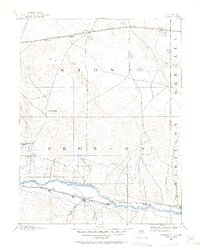
1890 · Granada
USGS Topo · 1:125,000
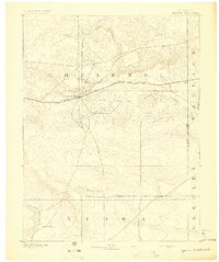
1892 · Cheyenne Wells
USGS Topo · 1:125,000
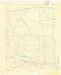
1892 · Granada
USGS Topo · 1:125,000
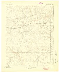
1894 · Cheyenne Wells
USGS Topo · 1:125,000
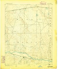
1894 · Granada
USGS Topo · 1:125,000

1954 · Lamar
USGS Topo · 1:250,000

1958 · Lamar
USGS Topo · 1:250,000
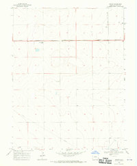
1968 · Stuart
USGS Topo · 1:24,000
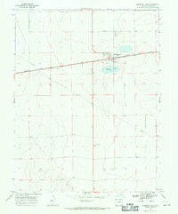
1968 · Sheridan Lake
USGS Topo · 1:24,000
1968 · Brandon
USGS Topo · 1:24,000