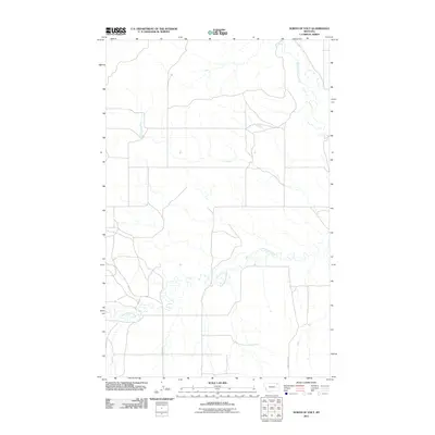
2011 Map of North of Volt
USGS Topo · Published 2011About this map
West Fork Poplar River flows through this corner of the Wolf Point District in northeastern Montana, defining a landscape shaped by drainage patterns and remote rural transport. The area is characterized by the winding path of Cottonwood Creek, which meanders across the southern sections of the terrain. Connectivity across these high plains relies on a sparse network of thoroughfares, including the long stretches of Waska Rd and Powder River Rd. This 2011 survey by the U.S. Geological Survey captures the quiet, open character of the region just north of the Volt community, where the land remains dominated by natural watercourses rather than dense settlement.
Find a feature on this map
4 named features on this map. Tap any name to fly to it.
Don’t see what you’re looking for? This feature index may not catch every label — zoom into the map to look around manually.
Map Details
Editions of this 2011 North of Volt Map
This is the sole edition of this map. No revisions or reprints were ever made.
Other maps of this area

1910 · Todd Lakes
USGS Topo · 1:62,500

1915 · Tule Valley
USGS Topo · 1:62,500

1915 · Todd Lakes
USGS Topo · 1:62,500

1954 · Wolf Point
USGS Topo · 1:250,000

1958 · Wolf Point
USGS Topo · 1:250,000

1973 · Peerless 4 NE
USGS Topo · 1:24,000

1973 · West Fork NE
USGS Topo · 1:24,000

1973 · Peerless 4 SE
USGS Topo · 1:24,000

1973 · Peerless 4 SW
USGS Topo · 1:24,000

1973 · Poplar Coulee
USGS Topo · 1:24,000