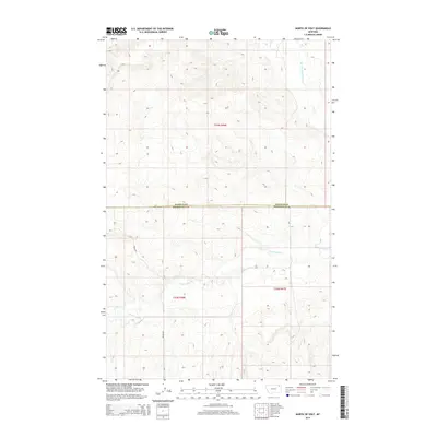
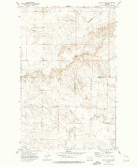
2014 Map of North of Volt
USGS Topo · Published 2014About this map
W Fork Poplar River meanders through the northeastern corner of this high-plains landscape, where the northern border of the Wolf Point District meets the Daniels Co Roosevelt Co line. The terrain is defined by a network of seasonal drainages, most notably Cottonwood Cr, which cuts across the southern half of the quadrangle. Transportation is sparse in this part of Montana, primarily consisting of local routes such as Waska Rd that navigate the varied elevations and coulees. This 2014 survey provides a clear view of the Public Land Survey System (PLSS) divisions, showing the sections within t33n r46e, t32n r46e, and t32n r47e, which are essential for property researchers and genealogists tracing land ownership in this rural section of Roosevelt County.
Find a feature on this map
7 named features on this map. Tap any name to fly to it.
Don’t see what you’re looking for? This feature index may not catch every label — zoom into the map to look around manually.
Map Details
Editions of this 2014 North of Volt Map
This is the sole edition of this map. No revisions or reprints were ever made.
Other maps of this area
1910 · Todd Lakes
USGS Topo · 1:62,500
1915 · Tule Valley
USGS Topo · 1:62,500
1915 · Todd Lakes
USGS Topo · 1:62,500

1954 · Wolf Point
USGS Topo · 1:250,000

1958 · Wolf Point
USGS Topo · 1:250,000
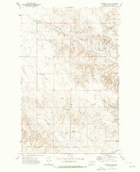
1973 · Peerless 4 NE
USGS Topo · 1:24,000
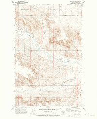
1973 · West Fork NE
USGS Topo · 1:24,000
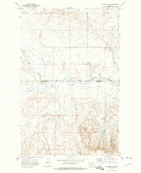
1973 · Peerless 4 SE
USGS Topo · 1:24,000
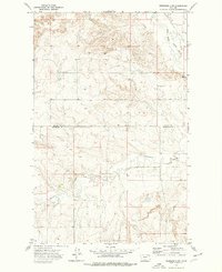
1973 · Peerless 4 SW
USGS Topo · 1:24,000
1973 · Poplar Coulee
USGS Topo · 1:24,000