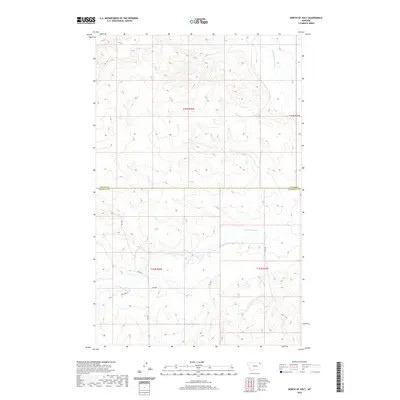
2020 Map of North of Volt
USGS Topo · Published 2020About this map
W Fork Poplar River flows through the northeast corner of this landscape, carving through the high plains at the boundary of Daniels and Roosevelt Counties. The topography is defined by the winding drainage of Cottonwood Cr, which meanders across the southern sections of the survey. A sparse network of rural routes, including Rd 1077 and Rd 2033, provides access to the interior of these townships, where the land is strictly partitioned by the Public Land Survey System into sections such as t33n r46e and t32n r47e. The map reveals a remote ranching or agricultural environment where natural watercourses and section-line roads are the primary landmarks in an otherwise open Montana vista.
Find a feature on this map
12 named features on this map. Tap any name to fly to it.
Don’t see what you’re looking for? This feature index may not catch every label — zoom into the map to look around manually.
Map Details
Editions of this 2020 North of Volt Map
This is the sole edition of this map. No revisions or reprints were ever made.
Other maps of this area

1910 · Todd Lakes
USGS Topo · 1:62,500

1915 · Tule Valley
USGS Topo · 1:62,500

1915 · Todd Lakes
USGS Topo · 1:62,500

1954 · Wolf Point
USGS Topo · 1:250,000

1958 · Wolf Point
USGS Topo · 1:250,000

1973 · Peerless 4 NE
USGS Topo · 1:24,000

1973 · West Fork NE
USGS Topo · 1:24,000

1973 · Peerless 4 SE
USGS Topo · 1:24,000

1973 · Peerless 4 SW
USGS Topo · 1:24,000

1973 · Poplar Coulee
USGS Topo · 1:24,000