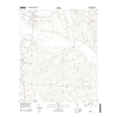
2014 Map of North
USGS Topo · Published 2014About this map
The N Fork Edisto River snakes through this portion of Orangeburg County, defining a landscape of wetlands and small agricultural settlements. The towns of North, Livingston, and Neeses serve as local hubs, connected by a network of roads such as the Savannah Hwy and Neeses Hwy. A significant portion of the northern terrain is occupied by the North Air Force Auxiliary Field, a large installation that contrasts with the surrounding rural character.
Find a feature on this map
127 named features on this map. Tap any name to fly to it.
Don’t see what you’re looking for? This feature index may not catch every label — zoom into the map to look around manually.
Map Details
Editions of this 2014 North Map
This is the sole edition of this map. No revisions or reprints were ever made.
Other maps of this area

1919 · Bamberg
USGS Topo · 1:48,000

1920 · Bamberg
USGS Topo · 1:62,500

1920 · Orangeburg
USGS Topo · 1:48,000

1921 · Orangeburg
USGS Topo · 1:62,500

1943 · Bamberg
USGS Topo · 1:62,500

1943 · Orangeburg
USGS Topo · 1:125,000

1943 · Orangeburg
USGS Topo · 1:62,500

1946 · Woodford
USGS Topo · 1:62,500

1946 · St. Matthews
USGS Topo · 1:62,500

1954 · Augusta
USGS Topo · 1:250,000